
Population 11,781 (2011 census) Postcode(s) 6057 Founded 1978 Federal division Division of Hasluck | Established 1978 Area 14.2 km² Postal code 6057 | |
 | ||
Location 18 km (11 mi) from Perth | ||
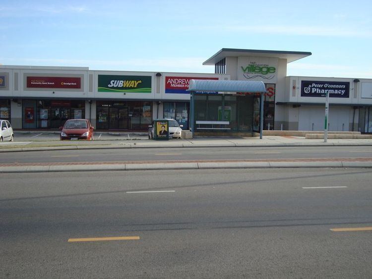
High Wycombe /ˌhaɪ ˈwɪkəm/ is a suburb of Perth, Western Australia, within the Shire of Kalamunda. High Wycombe lies east of the Perth CBD at the base of the Darling Scarp (commonly referred to as the foothills).
Contents
- Map of High Wycombe WA 6057 Australia
- Education
- Parks and sporting reserves
- Public transport
- Other public facilities
- References
Map of High Wycombe WA 6057, Australia
High Wycombe is directly east of Perth Airport, west of Maida Vale, north of Forrestfield, and south of the industrial suburb of Hazelmere.
High Wycombe is a large suburb in area, with its main population centred on roads that connect from Newburn Road, and bounded by Kalamunda Road to the north, Dundas Road to the west, Maida Vale Road to the south, and Roe Highway to the east. The suburb's growth is mainly in this area, however the estate of Jacaranda Springs, which is based on the northern side of Kalamunda Road, is also experiencing growth. A sparsely populated area around Milner Road is also part of the suburb.
In the 2011 census, High Wycombe had a population of 11,781: 5,912 male and 5,869 female with an average age of 34 years.
Education
Parks and sporting reserves
Public transport
High Wycombe is served by Transperth bus services, operated by Path Transit and Swan Transit. Routes 296 and 299 provide the primary service for High Wycombe, operating to Elizabeth Quay Bus Station in the Perth CBD via Great Eastern Highway, or to Kalamunda bus station in Kalamunda, a regional centre of the Perth Hills. Route 296 serves the centre of High Wycombe, whilst route 299 operates along Kalamunda Road, serving the northern part of the suburb. During the peak commuter period in the peak direction of travel, route 299 is replaced by route 295, operating limited stops along Great Eastern Highway, and route 296 is supplemented by route 298, which additionally serves a greater area of the west of the suburb and travels to Elizabeth Quay Bus Station via Shepperton Road.
Alternate, less frequent bus routes provide connections to railway stations and shopping centres in the Eastern metropolitan region. Route 294 operates to Midland railway station and Midland Gate shopping centre, or to Cannington railway station and Westfield Carousel shopping centre. Route 304 provides an off peak service to Midland railway station from Hillview Village, a retirement community in the west of the suburb. They are making a train station in High Wycombe called Forrestfield-Airport Link. It will be finshed in 2020.