
Population 6,636 (2011 census) Area 9.9 km² Local time Saturday 7:59 AM | Postcode(s) 6076 State electorate(s) Kalamunda Postal code 6076 | |
 | ||
Weather 17°C, Wind SW at 14 km/h, 85% Humidity Points of interest Mundy Regional Park, Bibbulmun Track, Stirk Park, Kalamunda History Village, Zig Zag Gallery | ||
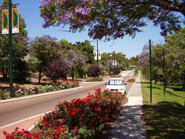
Kalamunda (Noongar: Karlamarda) is a town and eastern suburb of Perth, Western Australia, located in the Darling Scarp at the eastern limits of the Perth metropolitan area.
Contents
Map of Kalamunda WA 6076, Australia
The word is derived from two Noongar (an Indigenous Australian language) words: kala meaning "home" and munda meaning "forest", hence spawning the Shire's motto "A home in the forest".
Geography
At 300 metres (980 ft) above sea level, Kalamunda and the surrounding areas experience colder night temperatures than the bulk of the Perth Metropolitan area to the west. Deep clay soils in the valleys in this area provide ideal growing conditions for stone fruits, apples and pears,wine production and for a small commercial rose growing industry.
The suburb of Gooseberry Hill is located to the north of Kalamunda where the terrain drops away sharply to the Helena Valley effectively isolating the Kalamunda from other Darling Scarp population centres to the north. To the south and east the urban area transitions into the semi-rural and orchard growing areas of Bickley, Carmel and Pickering Brook, which in turn give way to extensive jarrah and marri forests.
Located nearby is the Kalamunda National Park and the northern terminus of the Bibbulmun Track, a 963 km recreational walking trail.
Important Bird Area
The town lies within the Mundaring-Kalamunda Important Bird Area, so identified by BirdLife International because of its importance as a non-breeding season roost site and foraging base for Long-billed Black Cockatoos.
Climate
Kalamunda has a Mediterranean climate with hot dry summers and cool wet winters. Due to the suburb's high elevation of around 250–300 metres (820–980 ft) above mean sea level and location on the Darling Scarp, it is a few degrees cooler in winter than Perth; however, this difference is less pronounced in summer as Kalamunda is less affected than Perth by the regular afternoon sea breeze, the Fremantle Doctor, due to its inland location. Kalamunda is far wetter than the city with over 1,000 millimetres (39 in) of annual rainfall, due to its location in the Darling Scarp.