
 | ||
Similar | ||
Peak district bike gopro high peak trail
The High Peak Trail is a 17-mile (27 km) trail for walkers, cyclists and horse riders in the Peak District. Running from Dowlow (53.2059°N 1.8349°W / 53.2059; -1.8349 (High Peak Trail (Dowlow trailhead))), near Buxton, to High Peak Junction, Cromford (53.1004°N 1.5354°W / 53.1004; -1.5354 (High Peak Trail (High Peak Junction trailhead))), it follows the trackbed of the former Cromford and High Peak Railway, which was completed in 1831 to carry minerals and goods between the Cromford Canal wharf at High Peak Junction and the Peak Forest Canal at Whaley Bridge.
Contents
- Peak district bike gopro high peak trail
- Cycling the high peak trail in derbyshire 2015
- Access and facilities on the trailEdit
- References
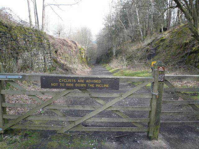
Closure of the line occurred during the Beeching era, with the first section of the line closing in 1963 (i.e. the Middleton Incline), with full closure in 1967.
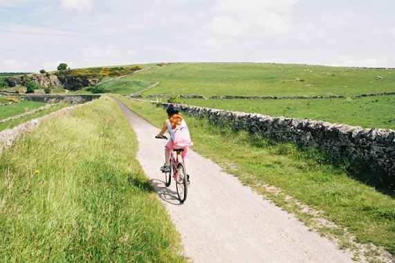
In 1971 the Peak Park Planning Board and Derbyshire County Council bought the largest part of the trackbed and, in partnership with the Countryside Commission, adapted it for its current leisure use. The trail has a crushed limestone surface which makes it ideal for all users, including wheelchair use, assisted by level access onto the trail at various points along its route.
The High Peak Trail is now a national route of the National Cycle Network.
The elevated nature of the trail (the highest part of the line is at Ladmanlow, at a height of 1,266 ft or 386 m) affords many splendid views across the countryside. However, these higher sections can also be very exposed in poor weather. The original railway incorporated a number of inclines at its northern and southern ends, and whilst much of the trail is fairly level, these sections are naturally steeper.
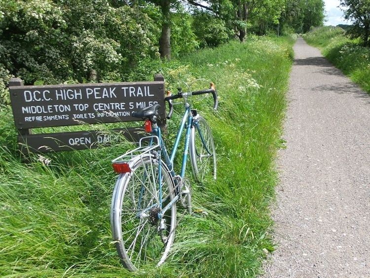
At Parsley Hay, about 5 miles (8 km) southwest of Bakewell, the High Peak Trail is joined by the 13-mile (21 km) Tissington Trail, another route of the National Cycle Network, which was formerly the railway branch line to Ashbourne.
The High Peak Trail (and part of the Tissington Trail) are also designated part of the Pennine Bridleway, a 130-mile (210 km) leisure route which starts at Middleton Top, near Cromford, and includes 73 miles (117 km) through Derbyshire to the South Pennines. The Trail also forms part of the Midshires Way, a long-distance footpath and bridleway which runs for 225 miles (362 km) through the Midlands from Bledlow to Stockport.