
Population 1,639 (2011) Unitary authority Local time Saturday 6:31 AM Civil parish Ercall Magna | OS grid reference SJ593175 Dialling code 01952 | |
 | ||
Weather 9°C, Wind S at 13 km/h, 90% Humidity | ||
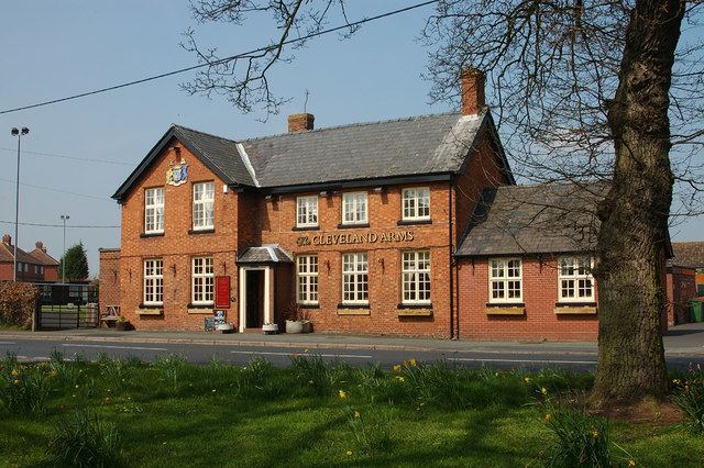
High Ercall, also known in the past as Ercall Magna, is a village in the borough of Telford and Wrekin and ceremonial county of Shropshire, England. The civil parish is still called Ercall Magna, and had a total population of 1,679 at the 2001 census, reducing to 1,639 at the 2011 Census. The parish also includes the villages of Rowton, Ellerdine, Cold Hatton, and a number of small hamlets. Its name is locally pronounced "Arkel".
Contents
Map of High Ercall, Telford, UK
The village lies on the junction of the B5062 and B5063 roads.
History, architecture
The etymology of the name Ercall (also seen in Child's Ercall) is obscure, though it may be derived from a Welsh word ercal, perhaps once applied to the whole area.
High Ercall was recorded in Domesday as "Archelou": it was stated to have been held by Earl Eduin in the time of Edward the Confessor, when it was worth £20. At the time of the survey it contained two mills and a fishery yielding "1502 great eels" annually.
It is thought a church may have stood in High Ercall since Saxon times, but the present St Michael's Church shows mostly medieval work with a tower dating from the 14th century. The base of the tower is badly weather-beaten. The parishioners, however, have a more romanticised explanation, that the damage is due to people sharpening their weapons on it in ancient times. In the churchyard, as well as graves covering several centuries, there is a sundial from the 18th-century which records the time in Jerusalem, Rome and Plymouth in Massachusetts.
The village is clustered around what remains of High Ercall Hall, originally a fortified 13th-century manor owned by the Arkle family; in the seventeenth century the house was owned by the Newport family, having been rebuilt in 1608 for Sir Francis Newport, the father of Richard Newport, 1st Baron Newport. The Newports were prominent royalists and during the English Civil War Richard garrisoned the Hall for the King. Between 1644 and 1646 the house withstood repeated attacks by local Parliamentarian forces, culminating in a prolonged siege, using artillery, from July 1645. The Royalist commander at High Ercall, Sir Vincent Corbet, eventually surrendered on 28 March 1646. The history and archaeology of this event was covered by the Time Team episode Siege House in Shropshire (series 9, episode 8).
The village also contains some almshouses of 1694, built in brick with small dormer windows.
A short distance from the village is a World War II airfield which as RAF High Ercall was the home of 29 MU, a Royal Air Force maintenance unit. 68 Squadron operated from High Ercall from April 1941 for eleven months before moving to Catterick.The MU opened in 1941 and closed in 1957. The airfield site later became the headquarters for the Road Transport Industry Training Board (RTITB) Multi Occupational Training and Educational Centre (MOTEC 1), home of the RTITB National Junior Mechanic Competition 1987.
Present day
In addition to a primary school and the church, there is a in the village a tennis club