
Elevation 353 m (1,158 ft) Orogeny Schichtstufe | Length 15 km (9.3 mi) | |
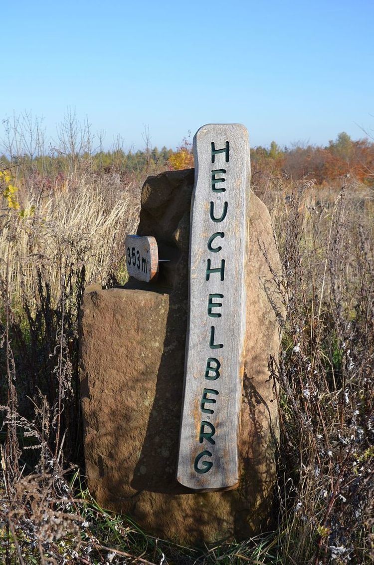 | ||
Peak unnamed highest point of the Heuchelberg tip Type of rock Keuper, Schilfsandstein | ||
The Heuchelberg is a hill ridge, about 15 kilometres long and up to 353 m above sea level (NN), a few kilometres southwest of the city of Heilbronn in the eponymous county in the German state of Baden-Württemberg.
Contents
Map of Heuchelberg, 74193 Schwaigern, Germany
Location
The Heuchelberg and the adjacent Stromberg region south of the River Zaber both give their names to the Stromberg-Heuchelberg Nature Park founded in 1980, the third nature park in Baden-Württemberg.
The Heuchelberg runs through the western part of the county of Heilbronn between Leingarten in the northeast and Zaberfeld in the southwest. It lies on the territories of the following towns and villages (clockwise from the northeast): Leingarten, Nordheim, Brackenheim, Güglingen, Pfaffenhofen and Zaberfeld (in the southwest) and Eppingen (only the municipality of Kleingartach), Schwaigern and finally Leingarten again.
Hills
The hills and high points of the Heuchelberg ridge include the following − sorted by height in metres above Normalnull (NN):