
Postcode(s) 3321 Postal code 3321 | ||
 | ||
Location 41 km (25 mi) W of Geelong58 km (36 mi) S of Ballarat99 km (62 mi) SW of Melbourne | ||
Hesse is a rural locality in the Golden Plains Shire, Victoria, Australia. In the 2011 census, the population of Hesse was too low to separately report; however in June 2014 the Victorian Electoral Commission recorded 12 enrolled voters in Hesse, living in 7 properties.
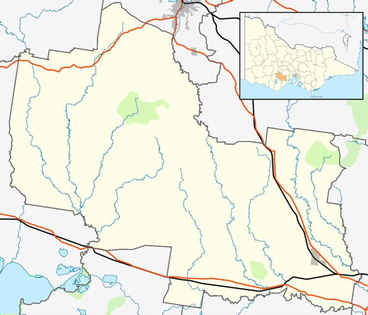
Map of Hesse VIC 3321, Australia
Hesse covers an area of rural farmland along the Hamilton Highway between the towns of Cressy and Inverleigh. The Western standard gauge line runs through the locality; while Hesse never had a station, the former station at Wingeel was close to the Hesse boundary. Wentworths Road, which runs north/north-west in the direction of Shelford, is the only other significant road in the locality. The Warrambine and Mia Mia Creeks also run through Hesse.
Warrambine Post Office opened on 16 January 1871, was renamed Hesse Post Office on 14 February 1871, and closed on 1 July 1899. A postal receiving office opened at Hesse in 1903, and a second Hesse Post Office was opened on 17 February 1914; it became a receiving office again on 1 August 1914, a post office again on 1 July 1927, and closed on 31 January 1966.
The Barunah Plains Homestead is located at Hesse.