
Total islands 1 Length 6 km (3.7 mi) Elevation 137 m Literacy 84.4% Area code 031927 | Major islands Henry Lawrence Width 14 km (8.7 mi) Area 54.7 km² Postal code 744202 | |
 | ||
Island groups | ||
Henry Lawrence Island is an island of the Andaman Islands. It belongs to the South Andaman administrative district, part of the Indian union territory of Andaman and Nicobar Islands. the island is lying 60 km (37 mi) northeast from Port Blair.
Contents
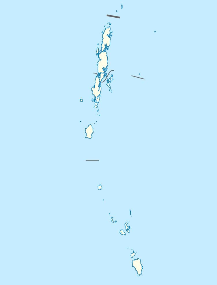
- Map of Henry Lawrence Island Andaman and Nicobar Islands
- Etymology
- Geography
- Administration
- Demographics
- References
Map of Henry Lawrence Island, Andaman and Nicobar Islands
Etymology
Henry Lawrence island is named after Brigadier-general Sir Henry Montgomery Lawrence.
Geography
The island belongs to the Ritchie's Archipelago and is located between John Lawrence Island and Inglis Island. it is the second largest Island of the Ritchie's Archipelago, it has an area of 54.7 km2.
Administration
Politically, Henry Lawrence Island is part of Port Blair Taluk.
Demographics
The island is uninhabited.
References
Henry Lawrence Island Wikipedia(Text) CC BY-SA