
Total islands 1 Length 13.3 km (8.26 mi) Elevation 0 cm Area code 031927 | Major islands John Lawrence Width 4.3 km (2.67 mi) Postal code 744202 | |
 | ||
Island groups | ||
John Lawrence Island is an island of the Andaman Islands. It belongs to the South Andaman administrative district, part of the Indian union territory of Andaman and Nicobar Islands. the island is lying 54 km (34 mi) northeast from Port Blair.
Contents
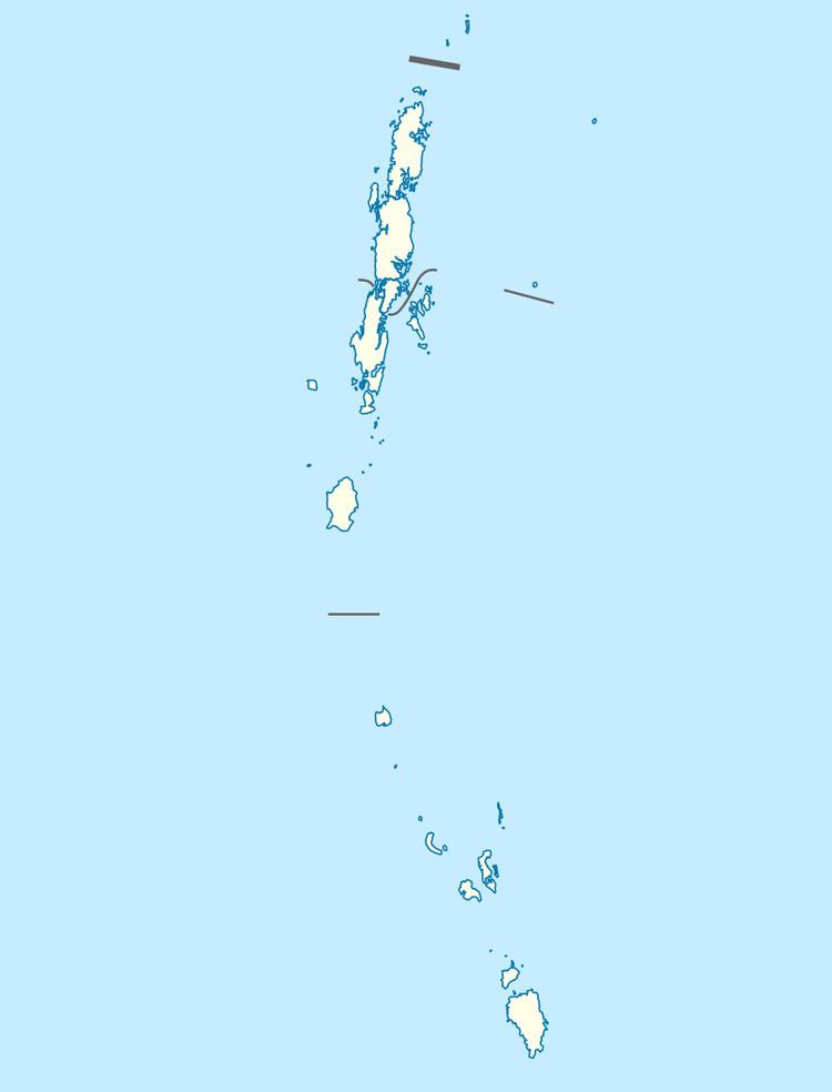
- Map of Island Andaman and Nicobar Islands
- Etymology
- Geography
- Administration
- Demographics
- Transportation
- References
Map of Island, Andaman and Nicobar Islands
Etymology
John Lawrence is named after Baronet Sir John Lawrence.
Geography
The island belongs to the Ritchie's Archipelago and is located between Peel Island and Sir John Lawrence's Brother: Henry Lawrence Island. John Lawrence Island is long in shape. It is surrounded by beaches on three sides. Since the island is quite long in shape, the beach stretches to a long distance.
Administration
Politically, John Lawrence Island is part of Port Blair Taluk.
Demographics
The island is uninhabited.
Transportation
The only way to reach John Lawrence Island is by local boat services. There is boat service from Port Blair and Havelock Island through which you can reach this island. However, boat rides are subject to weather and condition of the sea. There is a small channel between John Lawrence Island and Henry Lawrence Island that is lined with thick mangrove forests. Terrestrial moist forests and mangroves form the main vegetation of John Lawrence Island.