
 | ||
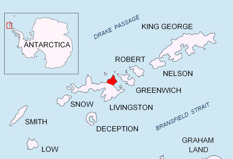
Helis Nunatak (Nunatak Helis \'nu-na-tak 'he-lis) is a crown-shaped rocky peak of elevation 340 m in Vidin Heights on Varna Peninsula, Livingston Island in the South Shetland Islands, Western Antarctica. The peak is named after the ancient Thracian capital town of Helis whose remains are located at Sveshtari, northeastern Bulgaria.
Contents
Location
The peak is located at 62°32′25″S 60°04′40″W which is 3 km west of Edinburgh Hill, 1.9 km south of Sharp Peak and 1.85 km east-southeast of Madara Peak (Bulgarian mapping in 2005 and 2009 from the Tangra 2004/05 topographic survey).
Maps
References
Helis Nunatak Wikipedia(Text) CC BY-SA