
Population 2,724 (2006 census) | Postcode(s) 6056 Postal code 6056 | |
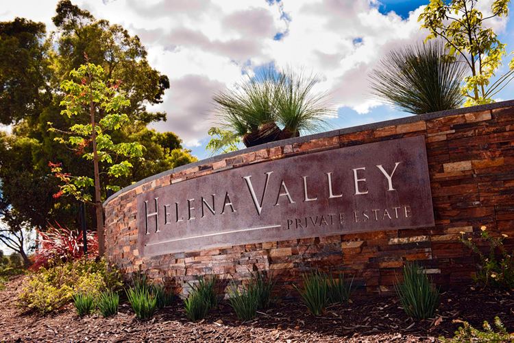 | ||
Helena Valley is the name of a river valley and a locality in the foothills of the Darling Scarp in Perth, Western Australia. It is located approximately 10 minutes from Midland.
Contents
Map of Helena Valley WA 6056, Australia
Geology
The river valley is the centre of the catchment of the Helena River and extends from the edge of the Darling Scarp where Boya, Gooseberry Hill and Helena Valley define the 'mouth' of the valley that opens to the Swan Coastal Plain, east and south east past Mundaring Weir and Lake C.Y. O'Connor to its origins in the region of Mount Dale.
The soils of Helena Valley are characteristic of the eastern Swan Coastal Plain, ranging from sand to loam and clay, with a neutral pH tending towards moderately acid.
Locality
The locality is within the Shire of Mundaring, situated just south west of Boya and Greenmount Hill, 5 kilometres from Midland. It consists of many rural houses, but also contains six estates, and a shopping centre located in one of the estates. is located at the base of Greenmount Hill.
Developments
The locality has been subject to a number of developments that were divisive in their planning and implementation - somewhat similar to Smith's beach - where public perceptions of the local government and state planning review processes eventually giving away to the developers wishes