
 | ||
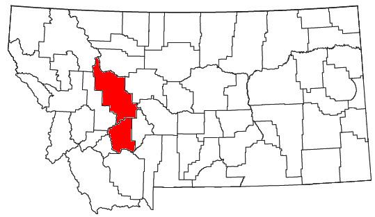
The Helena Micropolitan Statistical Area, as defined by the United States Census Bureau, is an area consisting of two counties in western Montana, anchored by the city of Helena.
Contents
- Counties
- Places with more than 25000 inhabitants
- Places with 5000 to 10000 inhabitants
- Places with 1000 to 5000 inhabitants
- Places with less than 1000 inhabitants
- Demographics
- References
As of the 2014 census estimate, the MSA had a population of 77,414, a 16% increase over the 2000 census.
Counties
Places with more than 25,000 inhabitants
Places with 5,000 to 10,000 inhabitants
Places with 1,000 to 5,000 inhabitants
Places with less than 1,000 inhabitants
Demographics
The 2012 U.S. Census estimate of the Helena area is 76,277. As of the census of 2000, there were 65,765 people, 26,597 households, and 17,813 families residing within the MSA. The racial makeup of the MSA was 95.34% White, 0.19% African American, 1.92% Native American, 0.50% Asian, 0.05% Pacific Islander, 0.38% from other races, and 1.62% from two or more races. Hispanic or Latino of any race were 1.51% of the population.
The median income for a household in the MSA was $39,433, and the median income for a family was $47,839. Males had a median income of $34,134 versus $24,486 for females. The per capita income for the MSA was $18,507.