
FIPS code 30-43675 Elevation 1,384 m Population 1,100 (2000) | Time zone Mountain (MST) (UTC-7) GNIS feature ID 0801064 Zip code 59639 Area code Area code 406 | |
 | ||
Area 47.14 km² (46.36 km² Land / 52 ha Water) | ||
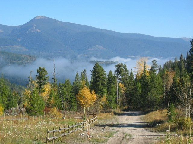
Elk at krohn lake lincoln montana
Lincoln is a census-designated place (CDP) in Lewis and Clark County, Montana, United States. As of the 2000 census, the city population was 1,100.
Contents
- Elk at krohn lake lincoln montana
- Map of Lincoln MT 59639 USA
- History
- Geography and Climate
- Demographics
- Media attention
- Notable people
- References
Map of Lincoln, MT 59639, USA
History
Meriwether Lewis passed through here on his return to St. Louis in 1806, following the famous “River of the Road to the Buffalo” created by Native Americans centuries before. Gold discoveries in the mid-1860s brought miners to a number of camps in the area and Lincoln was eventually created when nearby Lincoln Gulch was abandoned in favor of the town’s present location. Recreational, logging and mining activities along the Blackfoot River in the early 20th century made it a convenient commercial center. Nearby wilderness areas continue to attract visitors and residents.
The Lincoln Community Hall (1918) and The Hotel Lincoln (1914) are listed on the National Register of Historical Places. Lincoln is located on Montana Highway 200 which is the longest route signed as a state highway in the United States, running 706.6 miles (1,137.2 km) from Idaho to North Dakota.
On April 3, 1996, Federal officers arrested Theodore Kaczynski at his remote cabin outside of Lincoln under suspicion of being the "Unabomber", a political terrorist and survivalist who placed pressure-sensitive bombs inside mailed packages. The bombing campaign resulted in three deaths and 23 wounded. Kaczynski is currently serving eight life sentences plus 30 years.
Geography and Climate
Lincoln is located at 46°57′28″N 112°40′20″W (46.957713, -112.672178). Its elevation is 4536 feet (1382 meters) above sea level. According to the United States Census Bureau, the CDP has a total area of 18.2 square miles (47 km2), of which, 17.9 square miles (46 km2) of it is land and 0.2 square miles (0.52 km2) of it (1.32%) is water.
Lincoln holds the record low for the month of November for the entire lower 48 with the record low of -53. Rogers Pass 15 miles east of Lincoln is known for being the location of the coldest recorded temperature in the United States outside of Alaska. On January 20, 1954, a temperature of -70 degrees Fahrenheit was recorded. Lincoln has a humid continental climate bordering on semi-arid. Snow is usually dry powder, although strong Pacific Ocean storms sometimes bring wet (moisture-laden)snow to the area.
Demographics
As of the census of 2000, there were 1,100 people, 480 households, and 315 families residing in the CDP. The population density was 61.3 people per square mile (23.7/km2). There were 777 housing units at an average density of 43.3 per square mile (16.7/km2). The racial makeup of the CDP was 95.18% White, 1.91% Native American, 0.18% Asian, and 2.73% from two or more races. Hispanic or Latino of any race were 0.73% of the population.
There were 480 households out of which 27.7% had children under the age of 18 living with them, 55.4% were married couples living together, 7.3% had a female householder with no husband present, and 34.2% were non-families. 29.6% of all households were made up of individuals and 10.6% had someone living alone who was 65 years of age or older. The average household size was 2.28 and the average family size was 2.83.
In the CDP, the population was spread out with 25.1% under the age of 18, 3.6% from 18 to 24, 24.6% from 25 to 44, 30.9% from 45 to 64, and 15.7% who were 65 years of age or older. The median age was 43 years. For every 100 females there were 106.4 males. For every 100 females age 18 and over, there were 107.6 males.
The median income for a household in the CDP was $26,688, and the median income for a family was $32,784. Males had a median income of $24,583 versus $15,227 for females. The per capita income for the CDP was $14,243. About 17.4% of families and 21.2% of the population were below the poverty line, including 28.8% of those under age 18 and 9.8% of those age 65 or over.
Media attention
Nearby Bugle Mountain (also known as "Bugle Peak"), located in the Scapegoat Wilderness, was the setting of a forest fire in the fictional 1952 motion picture Red Skies of Montana. The film, based in part on the tragic 1949 Mann Gulch fire, was filmed in Montana.