
- elevation 2,740 ft (835 m) - average 269 cu ft/s (8 m/s) Basin area 8,728 km² | - elevation 1,624 ft (495 m) Length 290 km | |
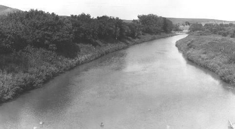 | ||
The Heart River is a tributary of the Missouri River, approximately 180 mi (290 km) long, in western North Dakota in the United States.
Contents
Map of Heart River, North Dakota, USA
CourseEdit
The Heart River rises in the prairie country of Billings County, in the Little Missouri National Grassland near the south unit of Theodore Roosevelt National Park. It flows generally eastwardly through Stark County to Gladstone, past Belfield and South Heart, through the Patterson Reservoir and past Dickinson.
It is joined by the Green River at Gladstone, and turns east-southeastward into Grant County, passing through Lake Tschida, which is formed by the Heart Butte Dam. Below this dam, the river turns northeastward into Morton County, where it joins the Missouri at Mandan.
References
Heart River (North Dakota) Wikipedia(Text) CC BY-SA