
Country United States FIPS code 38-30460 Elevation 716 m Local time Tuesday 7:23 AM Area code 701 | Time zone Mountain (MST) (UTC-7) GNIS feature ID 1029130 Zip code 58630 Population 285 (2013) | |
 | ||
Weather -10°C, Wind SE at 29 km/h, 82% Humidity Area 91 ha (88 ha Land / 3 ha Water) | ||
Gladstone is a city in Stark County, North Dakota, United States. The population was 239 at the 2010 census. It is part of the Dickinson Micropolitan Statistical Area.
Contents
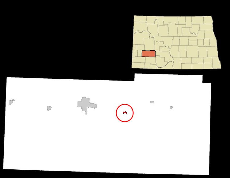
Map of Gladstone, ND 58630, USA
History
Gladstone was laid out in 1882, and was originally built up by a group of settlers from Ripon, Wisconsin. The city was named for British Prime Minister William Ewart Gladstone.
Geography
Gladstone is located at 46°51′35″N 102°33′56″W (46.859737, -102.565592).
According to the United States Census Bureau, the city has a total area of 0.35 square miles (0.91 km2), of which, 0.34 square miles (0.88 km2) is land and 0.01 square miles (0.03 km2) is water.
2010 census
As of the census of 2010, there were 239 people, 99 households, and 62 families residing in the city. The population density was 702.9 inhabitants per square mile (271.4/km2). There were 113 housing units at an average density of 332.4 per square mile (128.3/km2). The racial makeup of the city was 96.2% White, 0.4% Asian, 0.8% from other races, and 2.5% from two or more races. Hispanic or Latino of any race were 1.3% of the population.
There were 99 households of which 30.3% had children under the age of 18 living with them, 49.5% were married couples living together, 8.1% had a female householder with no husband present, 5.1% had a male householder with no wife present, and 37.4% were non-families. 25.3% of all households were made up of individuals and 4% had someone living alone who was 65 years of age or older. The average household size was 2.41 and the average family size was 2.94.
The median age in the city was 43.4 years. 23.4% of residents were under the age of 18; 6.8% were between the ages of 18 and 24; 24.3% were from 25 to 44; 31.5% were from 45 to 64; and 14.2% were 65 years of age or older. The gender makeup of the city was 52.7% male and 47.3% female.
2000 census
As of the census of 2000, there were 248 people, 95 households, and 64 families residing in the city. The population density was 695.8 people per square mile (266.0/km²). There were 106 housing units at an average density of 297.4 per square mile (113.7/km²). The racial makeup of the city was 95.56% White, 1.21% Native American, 2.42% from other races, and 0.81% from two or more races. Hispanic or Latino of any race were 4.44% of the population.
There were 95 households out of which 34.7% had children under the age of 18 living with them, 55.8% were married couples living together, 7.4% had a female householder with no husband present, and 32.6% were non-families. 25.3% of all households were made up of individuals and 9.5% had someone living alone who was 65 years of age or older. The average household size was 2.61 and the average family size was 3.14.
In the city, the population was spread out with 27.4% under the age of 18, 10.1% from 18 to 24, 29.8% from 25 to 44, 21.0% from 45 to 64, and 11.7% who were 65 years of age or older. The median age was 33 years. For every 100 females there were 115.7 males. For every 100 females age 18 and over, there were 122.2 males.
The median income for a household in the city was $26,563, and the median income for a family was $29,688. Males had a median income of $22,083 versus $18,750 for females. The per capita income for the city was $12,447. About 12.7% of families and 20.8% of the population were below the poverty line, including 32.1% of those under the age of eighteen and 28.6% of those sixty five or over.