
Area 189.9 km² | Time zone BST (UTC+6) | |
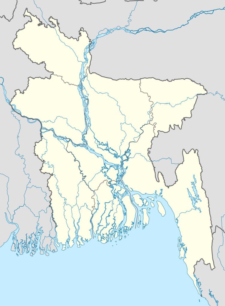 | ||
Website Official Map of Haziganj | ||
Haziganj (Bengali: হাজীগঞ্জ) or Hajiganj is an Upazila of Chandpur District in the Division of Chittagong, Bangladesh.
Contents
- Map of Haziganj Bangladesh
- Geography
- Demographics
- Economy
- Administration
- Infrastructure
- Education
- References
Map of Haziganj, Bangladesh
Geography
Haziganj is located at 23.2500°N 90.8500°E / 23.2500; 90.8500 . It has 44,350 households and a total area of 189.9 km².
Demographics
The Hajigonj Municipality is a 1st class municipality. It is 19 km2 in area. The population of the municipality is 58,000, with a population density of 3055 people per km2. According to the 2011 Bangladesh census, Haziganj had a population of 291,057. Males constituted 49.17% of the population, and females 50.83%. The population aged 18 or over was 127,498. Haziganj had an average literacy rate of 60.5% (7+ years), compared to the national average of 64.4%.
Economy
Administration
Haziganj has 13 Unions/Wards, 139 Mauzas/Mahallas, and 147 villages.
Infrastructure
upozila health complex, hajigonj