
District Gmünd Area code 02865 Elevation 585 m Population 508 (1 Apr 2009) | Time zone CET (UTC+1) Website www.haugschlag.at Local time Saturday 4:05 AM Postal code 3874 | |
 | ||
Weather 4°C, Wind S at 3 km/h, 88% Humidity | ||
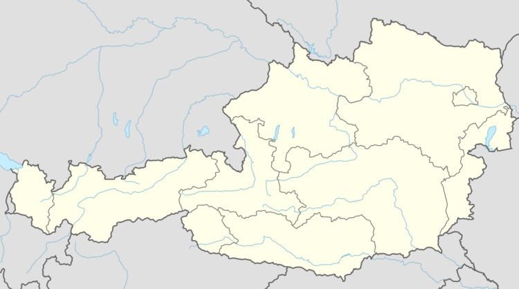
Haugschlag is a municipality in the district of Gmünd in the Austrian state of Lower Austria.
Contents
Map of 3874 Haugschlag, Austria
Geography
It is Austria's northernmost municipality, located in the Waldviertel region close to the Czech border. It comprises the Katastralgemeinden of Griesbach, Haugschlag, Rottal, and Türnau.
References
Haugschlag Wikipedia(Text) CC BY-SA