
OS grid reference TQ125915 Sovereign state United Kingdom | Dialling code 020 | |
 | ||
Population 10,693 (2011 Census. Ward) | ||
Wet room bathroom hatch end pinner harrow london
Hatch End is an area of north west London, situated within the London Borough of Harrow. It forms part of Pinner and is located 12.2 miles north west of Charing Cross.
Contents
- Wet room bathroom hatch end pinner harrow london
- Map of Hatch End Pinner UK
- Attractions
- Geography
- Demographics
- Notable residents
- Nearby places
- Trains
- References
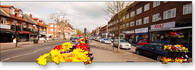
Map of Hatch End, Pinner, UK
Attractions
Hatch End is home to Harrow Arts Centre, a complex which centres on the 404 seat Elliott Hall and a 120-seat studio theatre. Music, dance, theatre, film,comedy and literature events are all hosted here, along with many workshops and summer schemes run during the holidays.
The area also features several sports facilities, including Hatch End Swimming Pool, Hatch End Cricket Club and Hatch End Tennis Club. Additionally, the Bannister Stadium & Bannister Sports Centre (containing sports pitches and an athletics track) are located off the Uxbridge Road.
Also of interest is Letchford House on Headstone Lane, a Grade II listed building which was built in 1670.
Geography
Harrow town centre is located to the southeast of Hatch End and is a regional centre for higher order goods, with two shopping malls and a 9-screen cinema, along with numerous restaurants, places of entertainment and bookshops. Pinner town centre, to the southwest, offers many additional amenities and is linked to the area by the frequent H12 bus service. Hatch End is also convenient for Watford, around 4 miles to the north, which also serves as a regional retail centre. Watford and Hatch End are linked by regular rail services from Hatch End railway station on the London Overground.
Demographics
Hatch End has a predominantly affluent population and properties in the area are popular. It is an area of London that has experienced a rise in population since the early twentieth century due to the demographic process of suburbanisation.
Day-to-day migration movements largely involve commuting into central London. Hatch End's population is served by extensive transport links including the London Overground (with regular services to London Euston), nearby London Underground's Pinner tube station and good A-road connections.
The area's tree-lined streets, open spaces, leisure amenities and restaurants (as well as close proximity to golf courses, parks and woods) make it one of the most desirable places to live in the capital. This, coupled with its low crime rate and aforementioned transport links, has meant that many residents have moved to the area from districts closer to central London in search of a better quality of suburban life.
Using data from the 2001 Census, 74.02% of the population of the Hatch End ward identify as 'white', 18.94% as 'Asian', 3.12% as 'Black', 2.16% as 'mixed', 1.14% as 'Other ethnic group' and 0.61% as Chinese. Christians make up 52.98% of the population of Hatch End. In addition, in common with many other parts of North West London, the area is also home to a sizeable Jewish community; Jews make up 11.38% of the population and Hatch End has two synagogues (and a third in Pinner town centre) and a kosher butcher. The suburb is also home to a Hindu community which represents 11.86% of the population.
The 2011 census showed that 57% of the population was white (48% British, 6% Other, 3% Irish), and 24% Indian.
Notable residents
Nearby places
Trains
Hatch End Station