
Vehicle registration UP 57 Elevation 75 m Population 11,259 (2001) | Time zone IST (UTC+5:30) Website kushinagar.nic.in Area 25 km² Local time Saturday 5:28 AM | |
 | ||
Weather 15°C, Wind NE at 0 km/h, 68% Humidity | ||
Hata is a town and a Nagarpalika in Kushinagar district in the Indian state of Uttar Pradesh.It is situated 36 km away from Gorakhpur in east .It is a major town of Kushinagar district situated on NH -28. Nearest railway Station is Gauri Bajar 17 KM and Kaptanganj 23 kilometer and 36 km away From Groakhpur Railways Station, Dhadha Bujurg 3 km west from city. Hata is main market for wholesaler, local vendors & retailers.
Contents
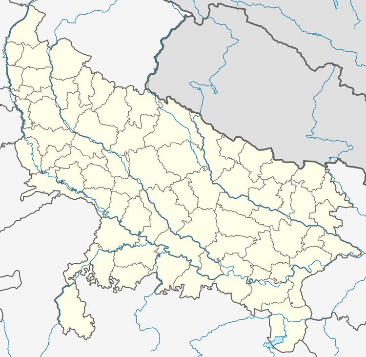
Map of Hata, Uttar Pradesh 274203
Geography
Hata is located at 26.75°N 83.74°E / 26.75; 83.74. It has an average elevation of 75 metres (246 feet).
Political
The possible candidates contesting for the MLA seat of Hata in 2017 will be:
Smt. Radha Nathani w/o Nand Kishor Nathani ( Pappu Bhaiya)of BJP is Chairman of this town.
Demographics
As of the 2011 Indian census, Hata had a population of 11,259. Males constitute 51.5% of the population and females 48.5%. Hata has an average literacy rate of 62%, higher than the national average of 59.5%: male literacy is 70%, and female literacy is 54%. In Hata, 17% of the population is under 6 years of age. .Area: 7.34 sq.km – Density: 1,533.2 inh./sq.km [2001]. pin code- 274203