
Website Official website Major highway National Highway 727 | Major highways NH-28B Local time Sunday 12:58 PM Lok sabha constituency Kushi Nagar | |
 | ||
Weather 27°C, Wind SE at 3 km/h, 37% Humidity Points of interest Japanese Temple, Mukutbandhan Chaitya ‑ Ramabha, Archaeological Site at Kusinara | ||
Kushinagar district is a district of Uttar Pradesh state in northern India. Padarauna is the district headquarters. The district is named for Kushinagar, a Buddhist pilgrimage site where Gautama Buddha attained parinirvana in the 6th or 5th centuries BCE. By separating from Deoria district Kushinagar existence on 13 May 1994 (Earlier known as Padarauna and thereafter renamed Kushinagar since 19th June 1997). |River= Gandak
Contents
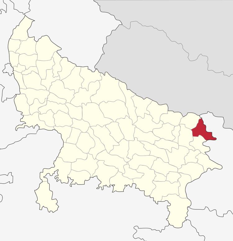
Map of Kushinagar, Uttar Pradesh
Location
Kushinagar District is bounded on the east by Bihar state, on the southwest by Deoria District, on the west by Gorakhpur District, and on the northwest by Maharajganj District. It is part of Gorakhpur Division.
Economy
In 2006 the Ministry of Panchayati Raj named Kushinagar one of the country's 250 most backward districts (out of a total of 640). It is one of the 34 districts in Uttar Pradesh currently receiving funds from the Backward Regions Grant Fund Programme (BRGF).
Transport
The Indian government has approved a project for the construction of an international airport.
Demographics
According to the 2011 census Kushinagar district has a population of 3,560,830, roughly equal to the nation of Lithuania or the US state of Connecticut. This gives it a ranking of 81st in India (out of a total of 640). The district has a population density of 1,226 inhabitants per square kilometre (3,180/sq mi). Its population growth rate over the decade 2001-2011 was 23.08%. Kushinagar has a sex ratio of 955 females for every 1000 males, and a literacy rate of 67.66%.