Vehicle registration UP Elevation 76 m Local time Friday 10:16 AM | Time zone IST (UTC+5:30) Website up.gov.in Population 11,493 (2001) | |
 | ||
Weather 21°C, Wind NE at 16 km/h, 63% Humidity | ||
Kaptanganj is a town and a nagar panchayat in Kushinagar district in the Indian state of Uttar Pradesh.
Contents
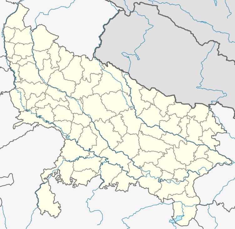
Map of Kaptanganj, Uttar Pradesh 274301
Demographics
As of the|2011} India census,Kaptanganj had a population of 23,526. Males constitute 53% of the population and females 47%. Kaptanganj had an average literacy rate of 59%, lower than the national average of 74%. In Kaptanganj, roughly 13% of the population is under the age of 6.
It is announced as town area in 1911 by British rulers.Total population includes Hindu,Muslim,among them Vaishya (Agrahari,Marvari,Jaiswal,Kasaudhan,Rainiyar )Brahman,kshatriya and other mixed population of other casts are living. Main places are Arya nagar(Mangal Bajar),Chadani Chauk,Subhash Chauk,Azad Chauk,Shiva chauk DCF Chauraha etc.
References
Kaptanganj, India Wikipedia(Text) CC BY-SA
