
 | ||
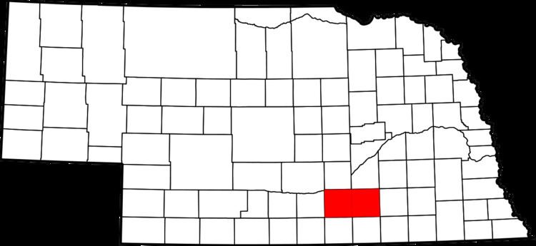
The Hastings Micropolitan Statistical Area, as defined by the United States Census Bureau, is an area consisting of two counties in Nebraska, anchored by the city of Hastings.
Contents
As of the 2000 census, the μSA had a population of 38,190 (though a July 1, 2009 estimate placed the population at 39,529).
Counties
Communities
Demographics
As of the census of 2000, there were 38,190 people, 14,897 households, and 9,945 families residing within the μSA. The racial makeup of the μSA was 95.10% White, 0.56% African American, 0.35% Native American, 1.36% Asian, 0.03% Pacific Islander, 1.85% from other races, and 0.75% from two or more races. Hispanic or Latino of any race were 4.38% of the population.
The median income for a household in the μSA was $35,710, and the median income for a family was $42,581. Males had a median income of $29,082 versus $20,553 for females. The per capita income for the μSA was $17,589.