
Country United States FIPS code 31-42355 Area 70 ha Zip code 68973 Population 248 (2013) | Time zone Central (CST) (UTC-6) GNIS feature ID 0832718 Elevation 599 m Local time Wednesday 4:20 PM Area code 402 | |
 | ||
Weather 13°C, Wind S at 27 km/h, 27% Humidity | ||
Roseland is a village in Adams County, Nebraska, United States. The population was 235 at the 2010 census. It is part of the Hastings, Nebraska Micropolitan Statistical Area.
Contents
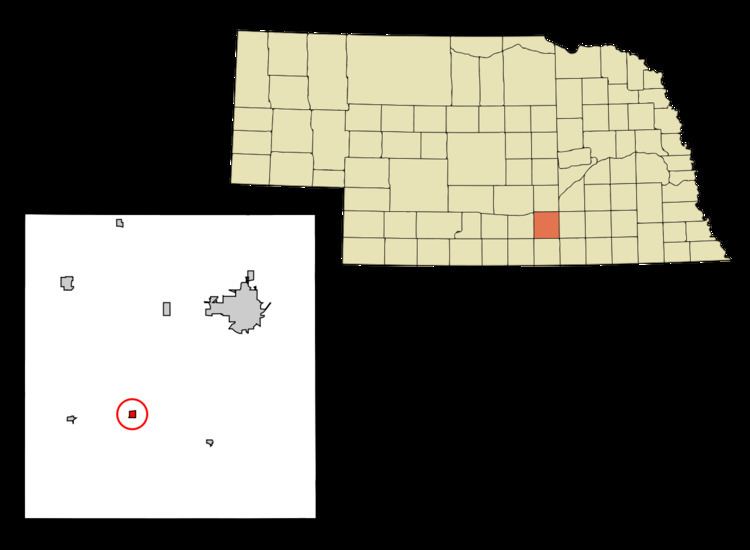
Map of Roseland, NE 68973, USA
History
Roseland had its start in the year 1887 by the building of the railroad through that territory. It was named from the wild roses in the area. Roseland was incorporated as a village in 1889.
Geography
Roseland is located at 40°28′15″N 98°33′30″W (40.470929, -98.558265).
According to the United States Census Bureau, the village has a total area of 0.27 square miles (0.70 km2), all of it land.
2010 census
As of the census of 2010, there were 235 people, 91 households, and 68 families residing in the village. The population density was 870.4 inhabitants per square mile (336.1/km2). There were 98 housing units at an average density of 363.0 per square mile (140.2/km2). The racial makeup of the village was 100.0% White.
There were 91 households of which 31.9% had children under the age of 18 living with them, 64.8% were married couples living together, 5.5% had a female householder with no husband present, 4.4% had a male householder with no wife present, and 25.3% were non-families. 23.1% of all households were made up of individuals and 7.7% had someone living alone who was 65 years of age or older. The average household size was 2.58 and the average family size was 2.97.
The median age in the village was 36.8 years. 28.5% of residents were under the age of 18; 5.2% were between the ages of 18 and 24; 22.5% were from 25 to 44; 28.6% were from 45 to 64; and 15.3% were 65 years of age or older. The gender makeup of the village was 49.4% male and 50.6% female.
2000 census
As of the census of 2000, there were 242 people, 102 households, and 69 families residing in the village. The population density was 957.0 people per square mile (373.7/km²). There were 106 housing units at an average density of 419.2 per square mile (163.7/km²). The racial makeup of the village was 95.04% White, 1.24% Native American, 1.24% Asian, 2.07% from other races, and 0.41% from two or more races. Hispanic or Latino of any race were 3.72% of the population.
There were 102 households out of which 30.4% had children under the age of 18 living with them, 63.7% were married couples living together, 2.0% had a female householder with no husband present, and 31.4% were non-families. 29.4% of all households were made up of individuals and 14.7% had someone living alone who was 65 years of age or older. The average household size was 2.37 and the average family size was 2.93.
In the village, the population was spread out with 24.0% under the age of 18, 9.1% from 18 to 24, 28.5% from 25 to 44, 21.5% from 45 to 64, and 16.9% who were 65 years of age or older. The median age was 37 years. For every 100 females there were 96.7 males. For every 100 females age 18 and over, there were 95.7 males.
As of 2000 the median income for a household in the village was $35,714, and the median income for a family was $41,875. Males had a median income of $30,962 versus $19,063 for females. The per capita income for the village was $15,626. About 3.9% of families and 4.1% of the population were below the poverty line, including 4.3% of those under the age of eighteen and 5.7% of those sixty five or over.