
Website www.adamscounty.org Founded 1867 | Area 1,461 km² Population 31,610 (2013) | |
 | ||
Colleges and Universities Hastings College, Hanover Public School District Practical Nursing Program Rivers South Channel Platte River, West Fork Big Blue River | ||
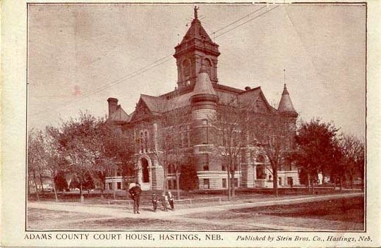
Adams County is a county in the U.S. state of Nebraska. As of the 2010 census, the population was 31,364. Its county seat is Hastings. The county was formed in 1867 and organized in 1871. It is named for John Adams, the second President of the United States.
Contents
- Map of Adams County NE USA
- Geography
- Major highways
- Adjacent counties
- Demographics
- City
- Villages
- Unincorporated communities
- References
Map of Adams County, NE, USA
Adams County comprises the Hastings, NE Micropolitan Statistical Area.
In the Nebraska license plate system, Adams County is represented by the prefix 14 (it had the fourteenth-largest number of vehicles registered in the state when the license plate system was established in 1922).
Geography
According to the U.S. Census Bureau, the county has an area of 564 square miles (1,460 km2), of which 563 square miles (1,460 km2) is land and 1.0 square mile (2.6 km2) (0.2%) is water.
Major highways
Adjacent counties
Demographics
As of the census of 2000, there were 31,151 people, 12,141 households, and 7,964 families residing in the county. The population density was 55 people per square mile (21/km²). There were 13,014 housing units at an average density of 23 per square mile (9/km²). The racial makeup of the county was 94.54% White, 0.64% Black or African American, 0.36% Native American, 1.60% Asian, 0.04% Pacific Islander, 1.99% from other races, and 0.83% from two or more races. 4.58% of the population were Hispanic or Latino of any race. 45.6% were of German, 7.9% Irish, 7.7% English and 7.3% American ancestry according to Census 2000.
There were 12,141 households out of which 30.90% had children under the age of 18 living with them, 54.40% were married couples living together, 8.30% had a female householder with no husband present, and 34.40% were non-families. 28.60% of all households were made up of individuals and 13.00% had someone living alone who was 65 years of age or older. The average household size was 2.43 and the average family size was 3.00.
In the county, the population was spread out with 24.40% under the age of 18, 11.90% from 18 to 24, 26.20% from 25 to 44, 21.70% from 45 to 64, and 15.90% who were 65 years of age or older. The median age was 36 years. For every 100 females there were 96.10 males. For every 100 females age 18 and over, there were 92.80 males.
The median income for a household in the county was $37,160, and the median income for a family was $45,620. Males had a median income of $29,842 versus $21,236 for females. The per capita income for the county was $18,308. About 5.50% of families and 9.30% of the population were below the poverty line, including 10.40% of those under age 18 and 6.70% of those age 65 or over.