
OS grid reference NY405131 Post town PENRITH Local time Friday 1:52 PM | Sovereign state United Kingdom Postcode district CA11 Dialling code 017684 | |
 | ||
Weather 8°C, Wind SW at 42 km/h, 95% Humidity | ||
Lake district country walk hartsop to boredale hause angle tarn and hayeswater round
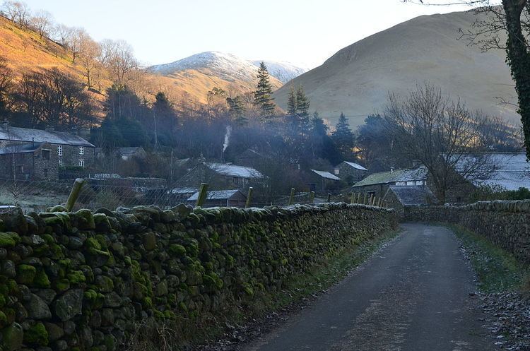
Hartsop is a small village in the English Lake District. It lies in the Patterdale valley, near Brothers Water, Hayeswater and Kirkstone Pass.
Contents
- Lake district country walk hartsop to boredale hause angle tarn and hayeswater round
- Map of Hartsop Penrith UK
- Hartsop glenridding greenside mine 24 oct 15
- References
Map of Hartsop, Penrith, UK
It consists of 17th-century grey stone cottages, like so many of its neighbours. Hartsop retains its historic image, in that, in common with a number of other small Cumbrian villages, it had houses with spinning galleries. It was also a lead mining community.
Hartsop Hall, in the care of the National Trust, is located on the far side of the valley from the village. The hall dates from the 16th century, formerly the home of the de Lancasters; in the 17th century it passed into the ownership of Sir John Lowther a member of the family that later became Earls of Lonsdale. After that, it became used as an ordinary farmhouse. Local history relates that when the hall was extended in the 18th century, it was built across an ancient right-of-way, a right which at least one dalesman insisted on exercising, by walking through the hall.(Ref: Towns and Villages of Cumbria, Terry Marsh, Sigma Press, 1999.
A mile from the village is the small and remote lake of Hayeswater which serves as a reservoir for the town of Penrith about 12 miles away.
Hartsop is a popular starting point for hill walkers climbing on the High Street range and the Helvellyn range. The village is overlooked by Brock Crags and Hartsop Dodd.
Hartsop is part of the civil parish of Patterdale.