
Country United States GNIS feature ID 0453402 Area 62.37 km² Population 872 (2010) | ZIP codes 46711, 46714, 46740 Elevation 257 m Local time Friday 8:30 AM | |
 | ||
Weather 1°C, Wind SE at 14 km/h, 57% Humidity | ||
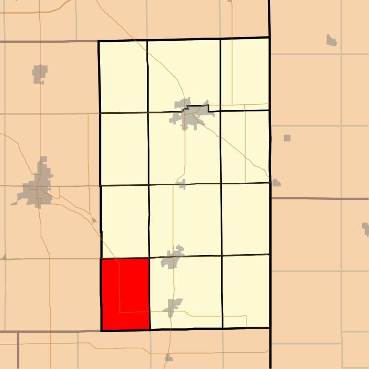
Hartford Township is one of twelve townships in Adams County, Indiana, United States. As of the 2010 census, its population was 872.
Contents
- Map of Hartford Township IN USA
- Geography
- Unincorporated towns
- Adjacent townships
- Major highways
- Cemeteries
- School districts
- Political districts
- References
Map of Hartford Township, IN, USA
Geography
According to the 2010 census, the township has a total area of 24.08 square miles (62.4 km2), of which 24 square miles (62 km2) (or 99.67%) is land and 0.08 square miles (0.21 km2) (or 0.33%) is water.
Unincorporated towns
(This list is based on USGS data and may include former settlements.)
Adjacent townships
Major highways
Cemeteries
The township contains these cemeteries: Alberson, Brown (Glendening), Greenwood (also known as Steiner, Linn Grove, or Buena Vista) and Hartford (Stringtown).
School districts
Political districts
References
Hartford Township, Adams County, Indiana Wikipedia(Text) CC BY-SA