
Country United States GNIS feature ID 0453962 Area 94.72 km² Population 6,223 (2010) | ZIP codes 46711, 46740, 47326 Elevation 251 m Local time Thursday 12:18 PM | |
 | ||
Weather 4°C, Wind NW at 32 km/h, 83% Humidity | ||
Wabash Township is one of twelve townships in Adams County, Indiana, United States. As of the 2010 census, its population was 6,223.
Contents
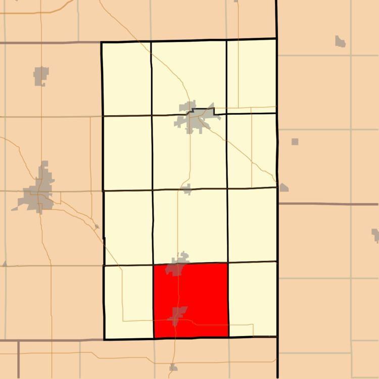
- Map of Wabash Township IN USA
- Geography
- Cities towns villages
- Unincorporated towns
- Adjacent townships
- Cemeteries
- Major highways
- Rivers
- Lakes
- Landmarks
- School districts
- Political districts
- References
Map of Wabash Township, IN, USA
Geography
According to the 2010 census, the township has a total area of 36.57 square miles (94.7 km2), of which 36.13 square miles (93.6 km2) (or 98.80%) is land and 0.44 square miles (1.1 km2) (or 1.20%) is water.
Cities, towns, villages
Unincorporated towns
Adjacent townships
Cemeteries
The township contains these cemeteries: Bunker Hill Amish, Bunker Hill (Baker Family), Collins (Ceylon), Crawford (also known as Rawley or Prairie Burying), Cross/Kross Reformed (Hoffstetter), MRE (Mennonite Reformed Evangelical), Nussbaum Family (no longer exists), Riverside, Snow, Studebaker, and Westlawn (Pyle).
Major highways
Rivers
Lakes
Landmarks
School districts
Political districts
References
Wabash Township, Adams County, Indiana Wikipedia(Text) CC BY-SA