
PIN 480224 Elevation 588 m Population 135,188 (2011) | Time zone IST (UTC+5:30) Vehicle registration MP Local time Friday 10:01 AM ISO 3166 code ISO 3166-2:IN | |
 | ||
Weather 28°C, Wind W at 11 km/h, 38% Humidity | ||
Harrai mata kareli wmv
Harrai is a sub-district and a nagar panchayat in Chhindwara district in the Indian state of Madhya Pradesh.
Contents
- Harrai mata kareli wmv
- Map of Harrai Madhya Pradesh 480224
- Simran jaap 2015 bhai sukhjinder singh jatha at gurdwara guru harrai sahib ji west bromwich
- Geography
- Demographics
- References
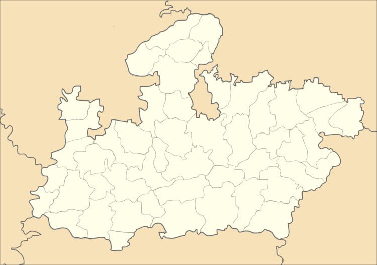
Map of Harrai, Madhya Pradesh 480224
Simran jaap 2015 bhai sukhjinder singh jatha at gurdwara guru harrai sahib ji west bromwich
Geography
Harrai is sub-district (Tahsil) in Chhindwara district. It is located at 22.62°N 79.22°E / 22.62; 79.22. It has an average elevation of 588 metres (1929 feet). It is 82 km from Chhindwara District headquarters and 46 km from Narsinghpur District. Shakkar River is covering the largest part and goes till meet Narmada River near Pipariya. Harrai is surrounded by dense forest with largely Teak (Sagon), Mahua, and local jadi buties.
Demographics
As of 2011 India census, Harrai had a population of 135,188. Males constitute 49.87% of the population and females 50.13%. Harrai has an average literacy rate of 48%, lower than the national average of 74.04%: male literacy is 57.89%, and female literacy is 42.10%. In Harrai, 15.60% of the population is under 6 years of age.