
Population 338 (2011) Civil parish Harpley Area 9.29 km² | OS grid reference TF790265 Sovereign state United Kingdom | |
 | ||
District | ||
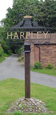
Harpley is a village and civil parish in the English county of Norfolk. It covers an area of 9.29 km2 (3.59 sq mi) and had a population of 353 in 157 households at the 2001 census, the population reducing to 338 at the 2011 Census. For the purposes of local government, it falls within the district of King's Lynn and West Norfolk.
Contents
Map of Harpley, UK
The village is 12 miles (19 km) north-east of King's Lynn. The village is on the south side of the A148 King's Lynn to Cromer road. There is an Anglican church, and a primary school (which celebrated its centenary in 2008). It has a Pub 'The Rose and Crown', The two shops, and a Post Office which used to operate in the village have closed. A Methodist chapel in Nethergate Street has been converted into a private dwelling. Nearby points of interest include Houghton Hall located north of the parish and the Peddars Way, accessible from the A148 just west of town.
Transport
Harpley can be reached from King's Lynn and Fakenham on the X8 bus service, operated by Stagecoach Norfolk.
Parish Church
The parish church is called St Lawrence and has a 14th-century tower. Several French aristocrats are buried in the graveyard, after escaping the French Revolution.