
Country Germany Admin. region Mittelfranken Municipal assoc. Happurg Area 42.59 km² Population 3,636 (31 Dec 2008) Dialling code 09151 | Elevation 353 m (1,158 ft) Local time Thursday 8:48 AM Postal code 91230 Administrative region Middle Franconia | |
 | ||
Weather 5°C, Wind E at 3 km/h, 89% Humidity | ||
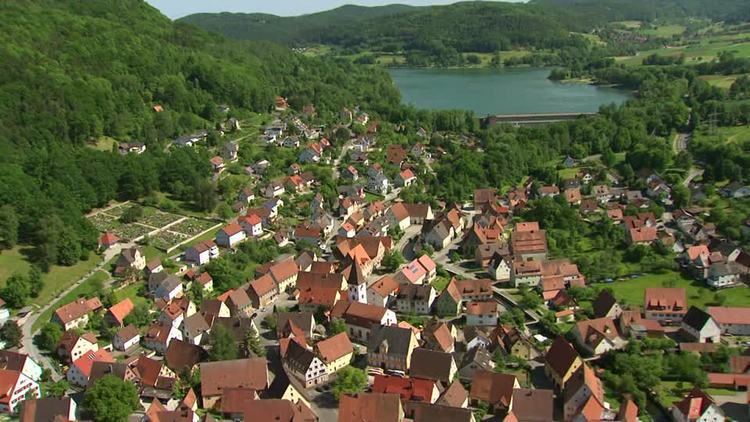
Happurg is a municipality in the district of Nürnberger Land in Bavaria in Germany. During World War II, a subcamp of Flossenbürg concentration camp was located here.
Contents
Map of Happurg, Germany
Neighboring Municipalities
Neighboring municipalities and communities (to the north going clockwise) are: Pommelsbrunn, Alfeld, Lauterhofen, Offenhausen, Engelthal, and Hersbruck.
Geographic Location
The municipality lies in the eastern part of the Franconian Jura
References
Happurg Wikipedia(Text) CC BY-SA