Time zone IST (UTC+5:30) Population 4,182 (2011) | Elevation 190 m (620 ft) PIN 814145 | |
 | ||
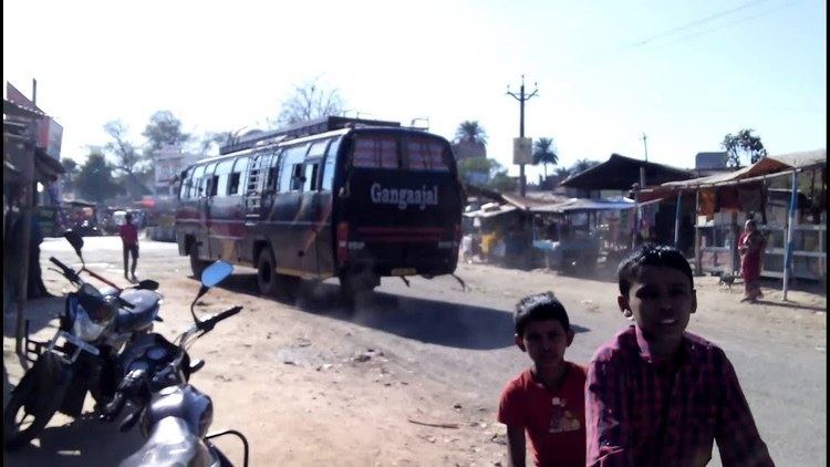
Hansdiha is a large village in Saraiyahat community development block which is an administrative division in Dumka district, Jharkhand state, India.
Contents
Map of Hansdiha, Jharkhand 814145
Geography
Hansdiha is located on National Highway 133 road between Deoghar and Godda in the state of Jharkhand.
Demographics
As per 2011 Census of India, Hansdiha had a total population of 4,182 of which 2,210 (53%) were males and 1,972 (47%) were females. Population below 6 years was 705. The literacy rate was 78.29% of the population over 6 years. The sex ratio was 892 females per thousand males.
Transport
Hansdiha is served by a broad gauge railway line. Hansdiha railway station is located just north of village.
Education
Jawahar Navodaya Vidalaya for Dumka district is located on southern outskirt of Hansdiha.
References
Hansdiha Wikipedia(Text) CC BY-SA
