
OS grid reference SX776531 Post town TOTNES Dialling code 01548 | Sovereign state United Kingdom Postcode district TQ9 7 Civil parish Halwell and Moreleigh | |
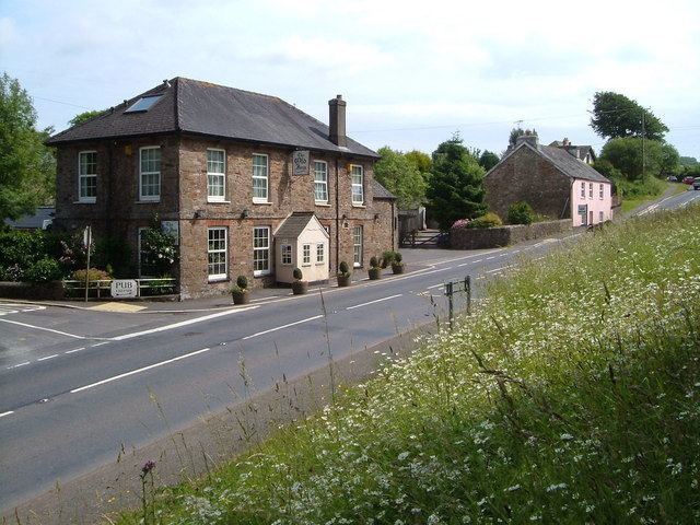 | ||
Halwell house devon
Halwell is a small village located within the South Hams district council area, in Devon, South West England.
Contents
Map of Halwell, Totnes, UK
Location
It is located 5 miles (8.0 km) south of Totnes, 6 miles (9.7 km) north of Kingsbridge and 8 miles (13 km) west of Dartmouth, on the junction of the A381 and A3122 roads serving the three towns.
History
Alfred the Great (871-899) had a fortified town, or burh, built at Halwell. According to the Burghal Hidage, an early 10th Century document setting out the details of all burhs then functioning, Halwell's wall was 1237 feet long and the nominated garrison consisted of 300 men drawn from the surrounding district in the event of an invasion. The other burhs in Devon were Exeter, Pilton (near Barnstaple) and Lydford. In the 10th Century, possibly as early as 907, the burh was transferred to Totnes, probably because it was better placed for trade at a time when the Viking threat had diminished.