
Time zone CET (UTC+1) Number of municipalities 13 | Area 668.3 km² | |
 | ||
Points of interest Hallein Salt Mine, Abtenauer Bergbahnen GesmbH, Sommerrodelbahn "Keltenblitz", Gaißau Hintersee, Gollinger Wasserfall Destinations | ||
The Bezirk Hallein is an administrative district (Bezirk) in the federal state of Salzburg, Austria, and congruent with the Tennengau region.
Contents
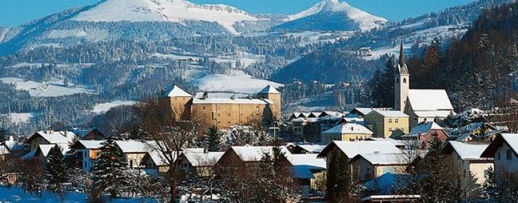
Map of Hallein District, Austria
Area of the district is 668.31 km², with a population of 54,282 (May 15, 2001), and population density 81 persons per km². Administrative center of the district is Hallein.
Administrative divisions
The district is divided into 13 municipalities, one of them is a town, and four of them are market towns.
Towns
- Hallein (18,399)
Market towns
- Abtenau (3,324)
- Golling an der Salzach (3,903)
- Kuchl (6,431)
- Oberalm (3,844)
Municipalities
- Adnet (3,324)
- Annaberg-Lungötz (2,296)
- Bad Vigaun (1,885)
- Krispl (849)
- Puch bei Hallein (4,088)
- Rußbach am Paß Gschütt (803)
- Sankt Koloman (1,497)
- Scheffau am Tennengebirge (1,292)
(population numbers May 15, 2001)
References
Hallein District Wikipedia(Text) CC BY-SA