
District Bruck an der Leitha Time zone CET (UTC+1) Area 25.05 km² Local time Tuesday 8:48 PM | Elevation 161 m (528 ft) Area code 02165 Population 6,376 (1 Jan 2016) Postal code 2410 | |
 | ||
Weather 7°C, Wind NW at 14 km/h, 73% Humidity | ||
The castle of hainburg an der donau
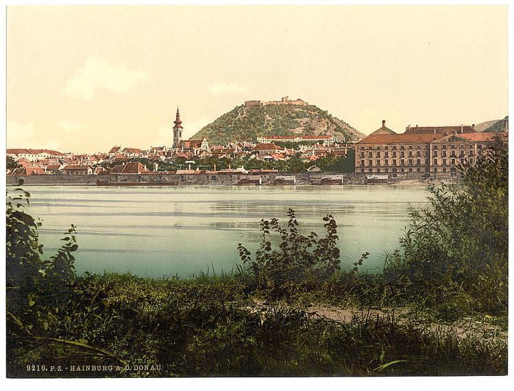
Hainburg an der Donau is a town in the Bruck an der Leitha district, Lower Austria, Austria.
Contents
- The castle of hainburg an der donau
- Map of Hainburg an der Donau Austria
- Hainburg an der donau view from fortification hainburger schlossberg
- Geography
- History
- Sites of interest
- Economics and infrastructure
- References
Map of Hainburg an der Donau, Austria
Hainburg an der donau view from fortification hainburger schlossberg
Geography
Hainburg is located on the right bank of the Danube river, 4 km southwest of Devín (Slovakia), 12 km west of the Slovak capital Bratislava and 43 km east of the Austrian capital Vienna. It is part of the Industrial Quarter Industrieviertel in Lower Austria.
45.87% of the land is forested, 54.13% is used for agriculture and urban areas.
History
Sites of interest
Economics and infrastructure
In 2001, there were 242 businesses and 29 agricultural and forestry businesses. There were 2,512 employed persons. The productivity rate was 45.07%. There were 70 unemployed persons.
References
Hainburg an der Donau Wikipedia(Text) CC BY-SA