Isolation 20 kilometres (12 mi) Easiest route rock/snow/ice climb First ascent 31 October 1986 Listing Ultra-prominent peak | Parent range Nyenchen Tanglha Shan Elevation 7,294 m Prominence 2,942 m | |
 | ||
First ascenders Y. Hashimoto, Yoshio Ogata, H. Imamura Similar Namcha Barwa, Rimo I, Kangpenqing, Mamostong Kangri, Gurla Mandhata | ||
Kosmos gyala peri
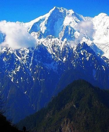
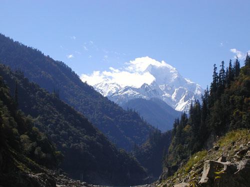
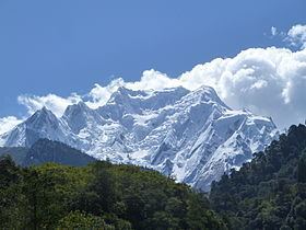
Gyala Peri (Chinese: 加拉白垒, Pinyin: Jiālābáilěi) is a peak just beyond the eastern end of the Himalayas at the entrance to Tsangpo gorge. It is part of Nyenchen Tanglha Shan, although it is sometimes included in Namcha Barwa Himal of the Himalayas.
Contents
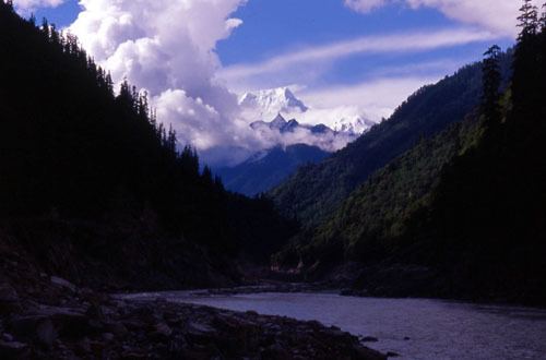
Gyala Peri lies just north of the Great Bend of the Yarlung Tsangpo River, the main river of southeastern Tibet, which becomes the Brahmaputra in India. It is 22 km NNW of the higher Namcha Barwa.
Notable features
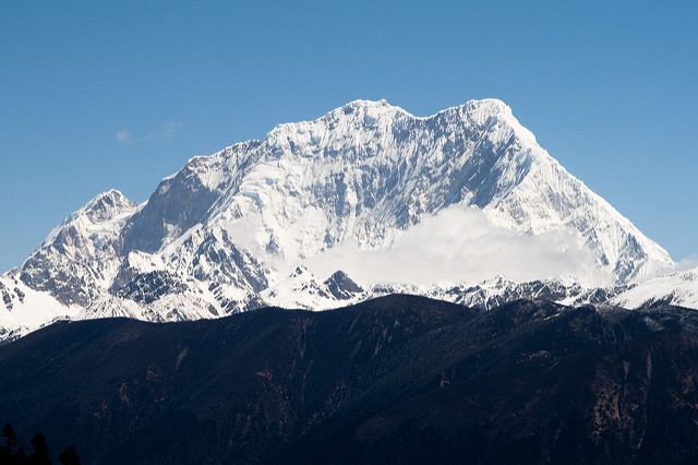
Gyala Peri has great vertical relief above the Tsangpo gorge and is the highest peak of the Nyenchen Tanglha Shan.
Climbing history
The first ascent of Gyala Peri was in 1986, by a Japanese expedition, via the South Ridge. The group spent about one and one-half months on the mountain. The U.K. Alpine Club's Himalayan Index lists no other ascents.