
- elevation 7,782 m (25,531 ft) Highest point Namcha Barwa | Area 10,800 km² Mountains Namcha Barwa | |
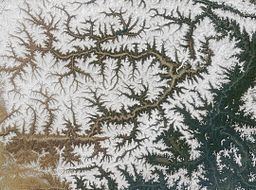 | ||
Namcha Barwa Himal, also known as Namjagbarwa syntaxis or Namjagbarwa Group Complex, is the easternmost section of the Himalaya in southeastern Tibet and northeastern India. This section spans 180 km from the headwaters of the Siyom River on the international border NE into Tibet to the canyon of the Yarlung Tsangpo (the Brahmaputra in India), where the Himalaya are said to end, although high ranges actually continue another 300 km east. Major peaks of this section include:
References
Namcha Barwa Himal Wikipedia(Text) CC BY-SA