
OS grid reference SD951982 Sovereign state United Kingdom Postcode district DL11 Dialling code 01748 UK parliament constituency Richmond | Post town DARLINGTON Local time Sunday 12:17 AM District Richmondshire Civil parish Melbecks | |
 | ||
Weather 9°C, Wind S at 16 km/h, 97% Humidity | ||
Yorkshire dales country walk gunnerside to blakethwaite dams round part 1
Gunnerside is a village in the Richmondshire district of North Yorkshire, England. It is situated on the B6270 road, 3 miles east of Muker and 6 miles west of Reeth. The village lies between the River Swale and its tributary, Gunnerside Beck, in the Swaledale part of the Yorkshire Dales National Park.
Contents
- Yorkshire dales country walk gunnerside to blakethwaite dams round part 1
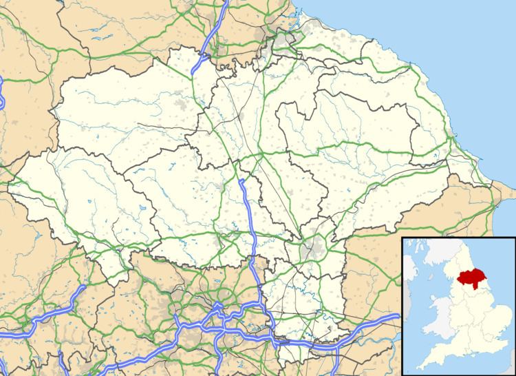
- Map of Gunnerside Richmond UK
- References
Map of Gunnerside, Richmond, UK
Gunnerside Ghyll (or Gunnerside Gill), a smaller valley running northwards, at right angles to the Swale valley (Swaledale), was the site of a major lead mining industry in Swaledale until the late nineteenth century.
Gunnerside contains a Methodist Chapel, a part-time post office, and a working smithy/museum. The village primary school is one of two sites of the Reeth and Gunnerside Schools. At the foot of Gunnerside Ghyll is the Kings Head public house. At the south of the village is the Grade II listed 1830s Gunnerside New Bridge over the River Swale.
Local employment centres on clockmaking, hill farming, gamekeeping and construction, the latter concerned chiefly with the maintenance of traditional stone-built field walls, houses and barns.