
Country United States ZIP codes 41632 Elevation 305 m | Time zone Eastern (EST) (UTC-5) GNIS feature ID 508149 Local time Saturday 6:41 PM | |
 | ||
Weather 2°C, Wind NE at 5 km/h, 28% Humidity | ||
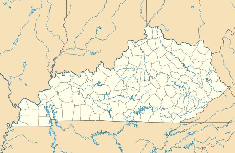
Gunlock is an unincorporated community in Magoffin County, Kentucky, United States. It lies along Route 7 southeast of the city of Salyersville, the county seat of Magoffin County. Its elevation is 1,001 feet (305 m).
Map of Gunlock, KY 41465, USA
A post office was established in the community in 1936. The first postmaster is said to have taken the name Gunlock from a newspaper article he read about a western ranch. Its post office, with the ZIP code of 41632, closed in 1998.
References
Gunlock, Kentucky Wikipedia(Text) CC BY-SA