Founded November 30, 1953 Area 326 km² | Elevation 480 m (1,570 ft) Local time Saturday 4:48 AM | |
 | ||
Weather 23°C, Wind E at 0 km/h, 93% Humidity | ||
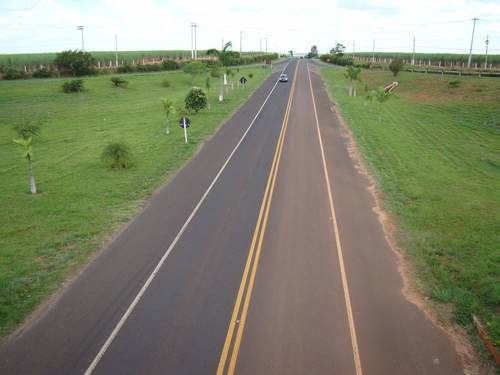
Guapiaçu is a municipality in the state of São Paulo, Brazil, with a population, measured in 2010 by the IBGE, of 17,869. and an area of 326 km2 (126 sq mi). Is located in the north/northwest of the state, 17 kilometres (11 mi) from São José do Rio Preto.
Contents
Map of Guapia%C3%A7u, State of S%C3%A3o Paulo, Brazil
The city name comes from the Tupi language, and means "Big spring (of a river)".
History
The settlement of the region began at the end of the 19th century. At the beginning of the 20th century, the city was a village named Ribeirão Claro. On 28 November 1927 the village was elevated to a district. The name changed to its current form in 1945. The city was established as a municipality on 30 November 1953, when it was separated from Rio Preto.
Indicators
All indicators are from SEADE and IBGE.
Economy
Manufacturing is the economic basis of Guapiaçu, producing 53.2% of the city's GDP. The tertiary sector provides 39.4% of GDP, and the primary sector 7.3%.
