
Car plates CCH | Area 527.6 km² | |
 | ||
Gminas Total 7 (incl. 1 urban)ChełmnoGmina ChełmnoGmina Kijewo KrólewskieGmina LisewoGmina Papowo BiskupieGmina StolnoGmina Unisław Points of interest Muzeum Ziemi Chełmińs, Park Miniatur Zamków, Kościół Garnizonowy, Rezerwat przyrody Góra Św, Rezerwat przyrody Zbocza Pł | ||
Chełmno County (Polish: powiat chełmiński) is a unit of territorial administration and local government (powiat) in Kuyavian-Pomeranian Voivodeship, north-central Poland. It came into being on 1 January 1999, as a result of the Polish local government reforms adopted in 1998. Its administrative seat and only town is Chełmno, which lies 40 km (25 mi) north of Toruń and 40 km (25 mi) north-east of Bydgoszcz.
Contents
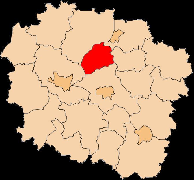
Map of Che%C5%82mno County, Poland
The county covers an area of 527.62 square kilometres (203.7 sq mi). As of 2006 its total population is 51,425, out of which the population of Chełmno is 20,388 and the rural population is 31,037.
The county includes the protected area called Chełmno Landscape Park, which stretches along the right bank of the Vistula river.
Neighbouring counties
Chełmno County is bordered by Świecie County to the north, Grudziądz County and Wąbrzeźno County to the east, Toruń County to the south, and Bydgoszcz County to the south-west.
Administrative division
The county is subdivided into seven gminas (one urban and six rural). These are listed in the following table, in descending order of population.