
 | ||
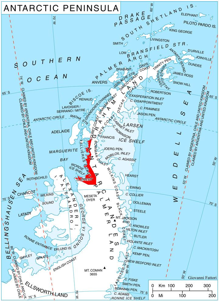
Grozden Peak (Bulgarian: връх Грозден, ‘Vrah Grozden’ \'vr&h 'groz-den) is the rocky peak rising to 1150 m in the west foothills of Hemimont Plateau on Fallières Coast in Graham Land, Antarctica. It surmounts Kom Glacier and its tributaries to the south, west and north.
Contents
The peak is named after the settlement of Grozden in Southeastern Bulgaria.
Location
Grozden Peak is located at 67°52′20″S 66°36′30″W, which is 4.75 km south of Bunovo Peak, 8 km northeast of Zhefarovich Crag and 6.7 km east of Mercury Ridge. British mapping in 1978.
Maps
References
Grozden Peak Wikipedia(Text) CC BY-SA