
 | ||
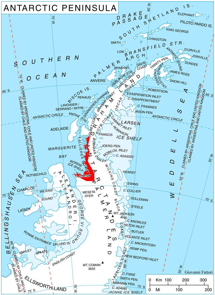
Kom Glacier (Bulgarian: ледник Ком, ‘Lednik Kom’ \'led-nik 'kom) is the 10 km long and 8 km wide glacier on the west side of Hemimont Plateau, Fallières Coast in Graham Land, Antarctica. It is situated south of Forbes Glacier and north of Swithinbank Glacier, drains westwards between Mercury Ridge and Zhefarovich Crag, and flows into Square Bay next north of Swithinbank Glacier.
Contents
The glacier is named after Kom Peak in Western Balkan Mountains.
Location
Kom Glacier is centred at 67°53′40″S 66°43′50″W. British mapping in 1978.
Maps
References
Kom Glacier Wikipedia(Text) CC BY-SA