
Population 1,050 (2011) Civil parish Gressenhall Area 10.53 km² | OS grid reference TF964166 Sovereign state United Kingdom | |
 | ||
Gressenhall is a civil parish in the English county of Norfolk.
Contents
Map of Gressenhall, UK
It covers an area of 10.53 km2 (4.07 sq mi) and had a population of 1,008 in 443 households at the 2001 census, increasing to a population of 1,050 in 459 households at the 2011 Census. For the purposes of local government, it falls within the district of Breckland.
The village is on the River Nar close to East Dereham in Norfolk.
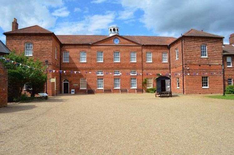
History
The Gressenhall Farm and Workhouse museum is located here, and a watermill dating from 1847. The main buildings of the Gressenhall workhouse were built in 1777 when it was a house of industry. Here paupers would work under quite a strict regime in return for accommodation.
This changed after the Poor Law Amendment Act of 1834: as a result the building underwent numerous changes to comply with the Act. The workhouse was a poor law institution. Its purpose was to provide a home and work for the poor local people who had nowhere to live. Gressenhall was constructed in 1776 and took one year to open.
Gressenhall has a post office, a pub (The Swan) and a church.