
OS grid reference NS743732 Sovereign state United Kingdom Postcode district G67 Dialling code 01236 | Post town GLASGOW | |
 | ||
UK parliament constituency Cumbernauld, Kilsyth and Kirkintilloch East Lieutenancy areas | ||
Greenfaulds is an area of the town of Cumbernauld in Scotland. Greenfaulds was a half council half private estate built in the late 1960s and early 1970s. The main road through the estate is a ring road with the private sector being on the outside of the road and the council side being in the inside. Although originally council houses, a large portion of the housing stock are now privately owned.
Contents
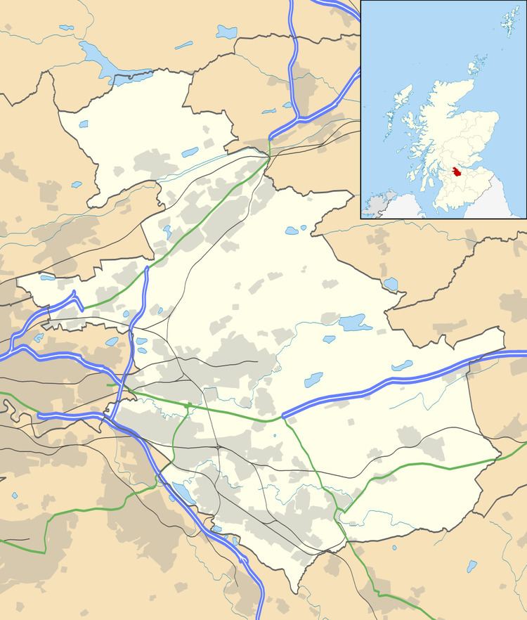
Map of Greenfaulds, Cumbernauld, Glasgow, UK
Environment
The top and center of the estate has been left fairly untouched by development meaning that from the approach it appears to have an extensive canopy of green and is considered more aesthetically pleasing than other parts of the town.
It is a short walk away from an area of countryside which features a river known as the Luggie Water. It is considered a pleasant retreat for kids, couples, dog owners and horse riders.
Education
Greenfaulds is the location of Greenfaulds High School, which was rebuilt and reopened in September 2016. The school provides higher education for puplis moving up from primary school.
Transport
The area is served by Greenfaulds railway station, which connects through to Glasgow, Hamilton and Coatbridge, as well as to Cumbernauld railway station at the south of Cumbernauld.
Bus stations connect through the A8011 road to Glasgow and the Cumbernauld town centre.