
Population 10,176 (2013 est) Founded 2004 | Established 2004 Area 5,746 km² | |
 | ||
Points of interest Hume Dam, Greater Hume Shire Visi, Woolpack Inn Museum, National Museum of Australia, Jindera Pioneer Museum Destinations | ||
Stand for greater hume shire cr andrea o neill berrigan shire council
Greater Hume Shire is a local government area in the Riverina region of southern New South Wales, Australia. The Shire was formed in 2004 incorporating Culcairn Shire, the majority of Holbrook Shire and part of Hume Shire. The shire had an estimated population of 10,137 as at 2012.
Contents
- Stand for greater hume shire cr andrea o neill berrigan shire council
- Map of Greater Hume NSW Australia
- Stand for greater hume shire cr john mcinerney greater hume shire
- Town and localities
- Current composition and election method
- References
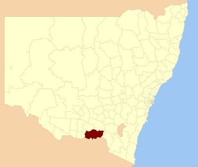
Map of Greater Hume, NSW, Australia
The Shire is located adjacent to the Hume, Olympic and Riverina Highways and the Sydney–Melbourne railway.
The mayor of the Greater Hume Shire Council is Cr. Heather Wilton, an independent politician.
Stand for greater hume shire cr john mcinerney greater hume shire
Town and localities
Major towns in the Shire are Holbrook and Culcairn. Other towns are: Brocklesby, Bungowannah, Burrumbuttock, Gerogery and Gerogery West, Henty, Jindera, Morven, Walbundrie and Walla Walla.
Towns such as Howlong, were cut off from Hume Shire in the amalgamation, Howlong is now a part of Corowa Shire.
Current composition and election method
Greater Hume Shire Council is composed of nine councillors elected proportionally as three separate wards, each electing three councillors. All councillors are elected for a fixed four-year term of office. The mayor is elected by the councillors at the first meeting of the Council. The most recent election was held on 10 September 2016, and the make-up of the council is as follows:
The current Council, elected in 2016, in order of election, is: