
Postcode(s) 2640 Local time Tuesday 9:37 AM | County Hume Postal code 2640 | |
 | ||
Location 575 km (357 mi) SW of Sydney18 km (11 mi) NW of Albury34 km (21 mi) SW of Jindera8 km (5 mi) SE of Howlong Weather 21°C, Wind SE at 16 km/h, 46% Humidity | ||
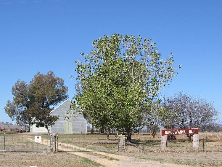
Bungowannah is a locality in the Riverina region of New South Wales, Australia. The locality is on the Riverina Highway, about 16 kilometres (9.9 mi) north west from Albury and 8 kilometres (5.0 mi) south east from Howlong.
Map of Bungowannah NSW 2640, Australia
Bungowannah Post Office opened on 1 December 1867, was closed between 1906 and 1918, and finally closed in 1951.
References
Bungowannah Wikipedia(Text) CC BY-SA