
 | ||
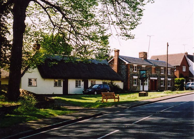
Great Sampford is a village and civil parish on the junction of the B1053 and B1051 roads in the north-west of the English county of Essex. The population of the Civil Parish at the 2011 Census was 586. The village includes a primary school, two places of worship and one public house. It is located three miles to the north-east of the town of Thaxted and eight miles to the south-east of Saffron Walden.
Contents
Map of Great Sampford, Saffron Walden, UK
It used to have a RAF airfield called RAF Great Sampford. The River Pant runs through the south of the village.
It is connected to Hempstead by Howe Lane.
The village contains two churches - the Baptist Church, which also owns a small hall adjacent to the property, used by the community for the pre-school; and also a Church of England parish church, St Michael's.
Also in the village is a green and cricket club. Next to the green is a playground which includes a skatepark, donated by the National Lottery Fund, a zip wire funded by an Uttlesford District Council Community Grant, a small football pitch and a tennis court.
Governance
Great Sampford is part of the electoral ward called The Sampfords. The population of this ward at the 2011 Census was 1,900.