 | ||
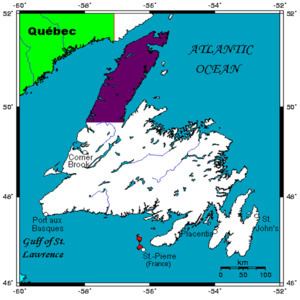
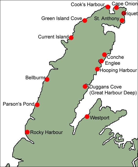
The Great Northern Peninsula (Inuttitut: Ikkarumiklua) is the largest and longest peninsula of Newfoundland, Canada, approximately 225 km long and 80 km wide at its widest point and encompassing an area of 17,483 km². It is defined as that part of Newfoundland from Bonne Bay northwards around Cape Norman and Cape Bauld and thence southwards to the head of White Bay, bounded by the Gulf of St. Lawrence on the west, the Strait of Belle Isle on the north and the Labrador Sea and White Bay on the east.
Contents
- Looking for polar bears and seals on the great northern peninsula newfoundland and labrador
- Topography
- References
Looking for polar bears and seals on the great northern peninsula newfoundland and labrador
Topography
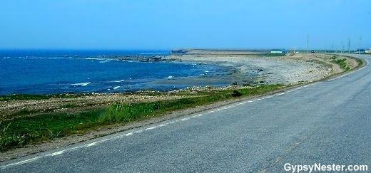
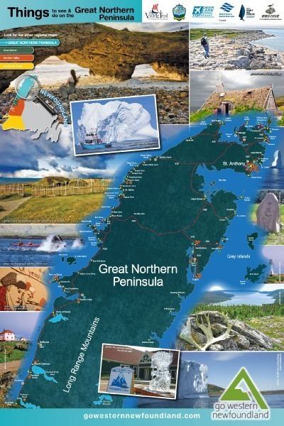
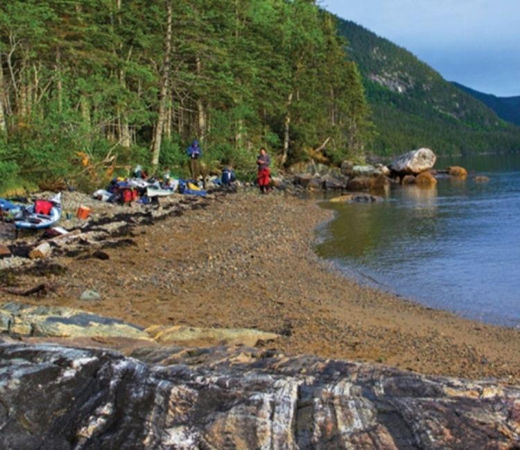
The Great Northern Peninsula can be divided into two main topographic areas, the high plateau of the Long Range Mountains and the low-lying coastal areas around which all of settlements can be found. The Long Range Mountains are a mixture of steep mountain valleys with spectacular fjords leading to the sea and mountainous areas dotted with many lakes and rivers. The northern end of the peninsula is indented by Hare Bay. The south and eastern end of the peninsula are mountainous, while the western end has a coastal plain in the northern half and deep fiords in the southern half.
Gros Morne National Park is located on the peninsula.