
Year first constructed 1884 (first) Deactivated 1962 (first) | Year first lit 1962 (current) Foundation concrete basement | |
 | ||
Location Cape BauldQuirpon IslandNewfoundlandCanada Construction wooden tower (first)concrete tower (current) Similar Burnt Cape Ecological Reserve, Point Amour Lighthouse, Cape Spear, Bonne Bay | ||
Cape Bauld is a headland located at the northeasternmost point of Great Northern Peninsula on the island of Newfoundland in the Canadian province of Newfoundland and Labrador.
Contents
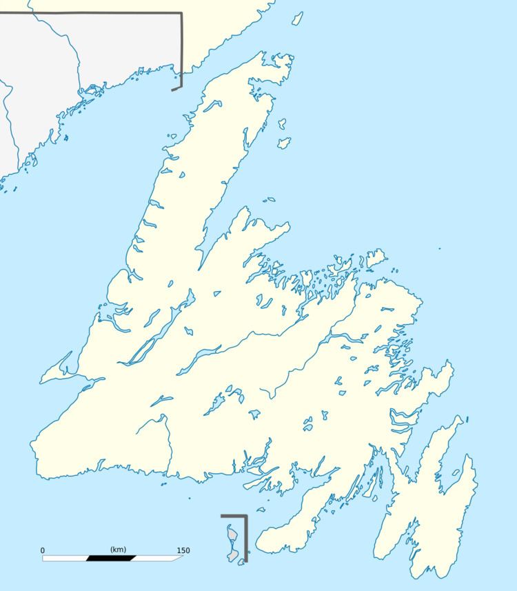
Map of Cape Bauld, Division No. 9, Subd. D, NL, Canada
Cape Bauld, slightly south and east of Cape Norman, delineates the eastern end of the Strait of Belle Isle.
Cape Bauld is located on the north side of Quirpon Island.
The English explorer John Cabot may have landed at Cape Bauld on June 24, 1497, though Cape Bonavista is also mentioned as a potential landing point.
Lighthouse
A lighthouse was constructed at the cape in 1884. The current lighthouse is the second replacement structure, constructed 1960–1961. The lightkeeper's residence is from 1920.
References
Cape Bauld Wikipedia(Text) CC BY-SA