
Peak Craggy Dome | Elevation 6,105 ft (1,861 m) Orogeny Alleghenian Mountains Beaucatcher Mountain | |
 | ||
Similar Blue Ridge Mountains, Mount Mitchell State Park, Linville Falls, Mount Pisgah, Waterrock Knob | ||
The Great Craggy Mountains, commonly called the Craggies, are a mountain range in western North Carolina, United States. They are a subrange of the Blue Ridge Mountains and encompass an area of approx. 194 sq mi (503 km²). They are situated in Buncombe County, North Carolina, 14 miles northeast of Asheville. The Black Mountains lie to the northeast, across the upper Cane River valley.
Contents
Map of Great Craggy Mountains, Ivy, NC 28711, USA
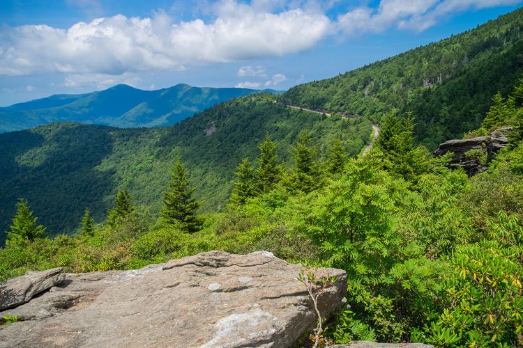
The Blue Ridge Parkway runs along the crest for most of the way between Asheville and Mount Mitchell. Craggy Gardens, an area of 16 km, is covered with purple Catawba rhododendrons in mid-June. The parkway through the area was closed from late 2012 through early 2013 due to subsidence caused by heavy rains, and had to be closed again during summer 2013 due to a reoccurrence of the same issues. Access to Mount Mitchell is only from the north or via detour from the south.
HabitatEdit
The high slopes of the Great Craggies are dominated by heath bald with rhododendron and blueberry, and northern hardwood forest with beech, buckeye, mountain ash, and red oak. The Craggies are in the Pisgah National Forest.
PeaksEdit
The highest point in the Great Craggy Mountains is Craggy Dome, which rises to an elevation of 6,105 feet (1,861 m).