
Country Canada Time zone MST (UTC-7) Area 161 ha | Elevation 810 m Population 649 (2011) Local time Saturday 10:39 AM | |
 | ||
Weather 12°C, Wind S at 34 km/h, 60% Humidity | ||
Grassy lake alberta 120kw solar
Grassy Lake is a hamlet in Alberta, Canada within the Municipal District of Taber. It is located on the Crowsnest Highway (Highway 3), midway between the cities of Lethbridge to the west and Medicine Hat to the east. It is approximately 13 km (8.1 mi) west of Burdett and 34 km (21 mi) east of Taber. It has an elevation of 810 metres (2,660 ft).
Contents
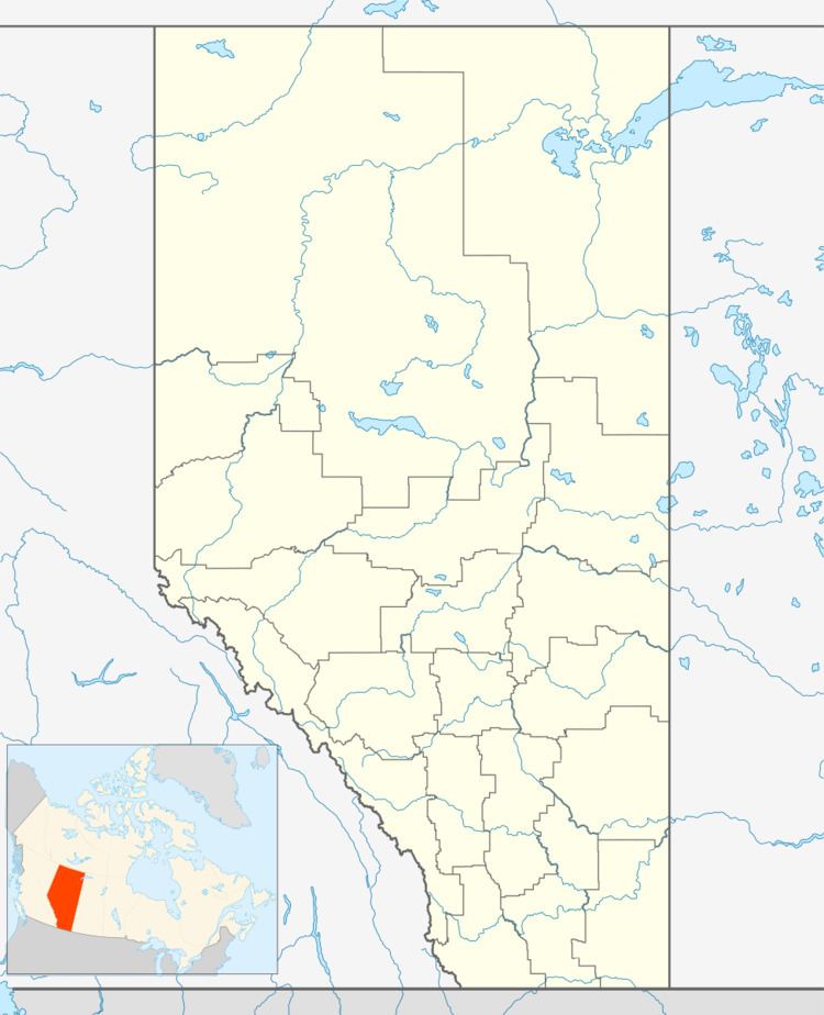
Map of Grassy Lake, AB, Canada
The hamlet is located in census division No. 2 and in the federal riding of Medicine Hat.
Grassy Lake was named for a nearby lake of the same name, which has since been drained.
Demographics
As a designated place in the 2016 Census of Population conducted by Statistics Canada, Grassy Lake recorded a population of 799 living in 179 of its 187 total private dwellings, a change of 7001231000000000000♠23.1% from its 2011 population of 649. With a land area of 1.55 km2 (0.60 sq mi), it had a population density of 515.5/km2 (1,335.1/sq mi) in 2016.
The Municipal District of Taber's 2016 municipal census counted a population of 815 in Grassy Lake, a 7000480000000000000♠4.8% change from the hamlet's 2013 municipal census population of 778.
As a designated place in the 2011 Census, Grassy Lake had a population of 649 living in 149 of its 156 total dwellings, a 46.5% change from its 2006 population of 443. With a land area of 1.61 km2 (0.62 sq mi), it had a population density of 403.1/km2 (1,044/sq mi) in 2011.